When I first started paying attention to pavements, it felt a little silly—like choosing to read the dust on bookshelves instead of the books themselves. Then I began to notice how often a simple row of stones or a patchwork of bricks seemed to hold a whole story: decisions made decades ago, shifts in industry, and the quiet marks of everyday life. Pavements are one of those small, overlooked things that, once you learn to read them, reveal a city's social history in surprisingly clear ways.
Why pavement patterns matter
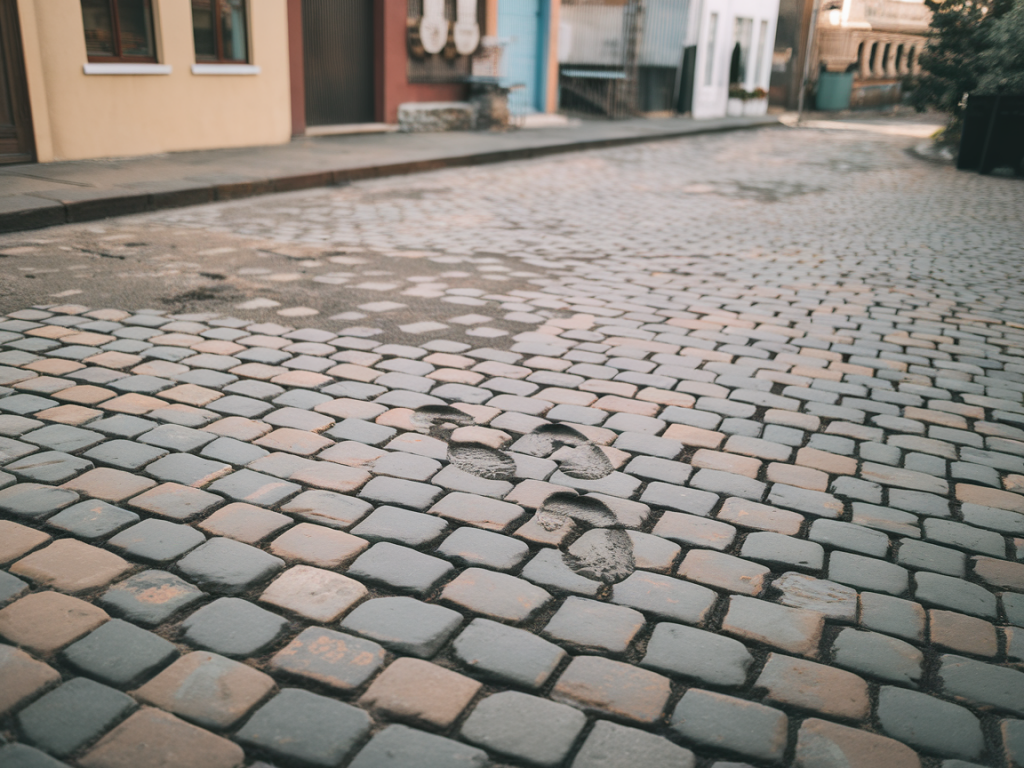
Pavements are not neutral. They’re the result of budgets, technology, legislation, aesthetics, and the social priorities of the time. A stretch of ornate Victorian sett paving tells a different story than a post-war concrete slab, just as a well-worn stone step outside a factory might nod to local labour history. When we walk, we pass through decisions that were made by planners, engineers, municipal councils, and communities—sometimes intentionally, sometimes by accident.
Reading pavement patterns answers questions people often have without realizing it: Who invested in this neighbourhood? Which areas were prioritised for repair? Where did materials come from? Which street was part of industrial traffic routes? Pavements map economics, governance, and culture onto the ground.
Common pavement materials and what they reveal
Different materials often point to specific historical moments or social contexts. Here are a few to look out for:
| Material | Typical historical association |
| Granite setts | Industrial/port traffic, 18th–19th centuries |
| York stone | Civic or wealthy neighbourhoods, older town centres |
| Red brick | Suburban expansion, Victorian/Edwardian housing |
| Concrete/Tarmac | Post-war repair, 20th-century cost-focused works |
Patterns, edges and interruptions: clues to social change
Beyond material, patterns and interruptions tell stories too. A neat line of newer paving cutting through older slabs can mark the route of a tram or bus lane installed later or indicate where utilities were dug up repeatedly. Watch for:
What pavements say about class and policy
I once walked through two streets only a few blocks apart, one with carefully laid stone slabs, the other with mismatched concrete repairs. Maps showed they were the same ward, but council minutes from the 1960s revealed different approaches: one street was part of a conservation area with targeted grants, the other scheduled for renewal but starved of funds. Pavement treatment often reflects where public money was spent—and where it wasn’t.
In many cities, gentrification leaves visible traces on the ground. New cafes and boutiques often bring fresh paving with them: patterned tiles, newly laid setts, or decorative planters. These interventions are both aesthetic and political, signalling an area’s changing social composition.
Accessibility and social priorities
Look at tactile paving, dropped kerbs, and kerb cuts. Where these are present and well-maintained, it suggests a civic emphasis on accessibility. Their absence can point to older infrastructure that hasn’t been updated or to areas where pedestrian needs were historically overlooked. Accessibility is a contemporary social value written into the pavement—quite literally.
How to read a pavement on a neighbourhood walk
Try this little exercise next time you wander a new area. I do it often—it’s like a slow form of archaeology you can carry in your shoes.
Stories underfoot: a few places I’ve learned from
In Bristol, I noticed granite setts near the harbourside, their rounded tops worn by carts and later by pedestrian traffic—perfect evidence of maritime commerce. In an East London suburb, fading painted shopfront lines and encaustic tiles beneath modern façades hinted at turn-of-the-century optimism suddenly interrupted by mid-century austerity. On a winter walk in York, the quality of stone around civic buildings contrasted sharply with side streets, mapping a pattern of prestige.
Small brands and materials can be clues too. Spotting a run of York stone flags older, preserved areas, while generic paving slabs often point to 20th-century municipal contracts. Occasionally you’ll find manufacturer marks on cast-iron drain covers or manhole lids—those tiny stamps are a direct link to industrial suppliers and local foundries.
Practical tips for walkers and curious citizens
Walking with an eye for pavement doesn’t require expertise—just curiosity and a willingness to slow down. Each pattern, seam and patch is a small historical footnote. Together they make up a readable script of how our neighbourhoods were built, used, changed, and cared for.